Description
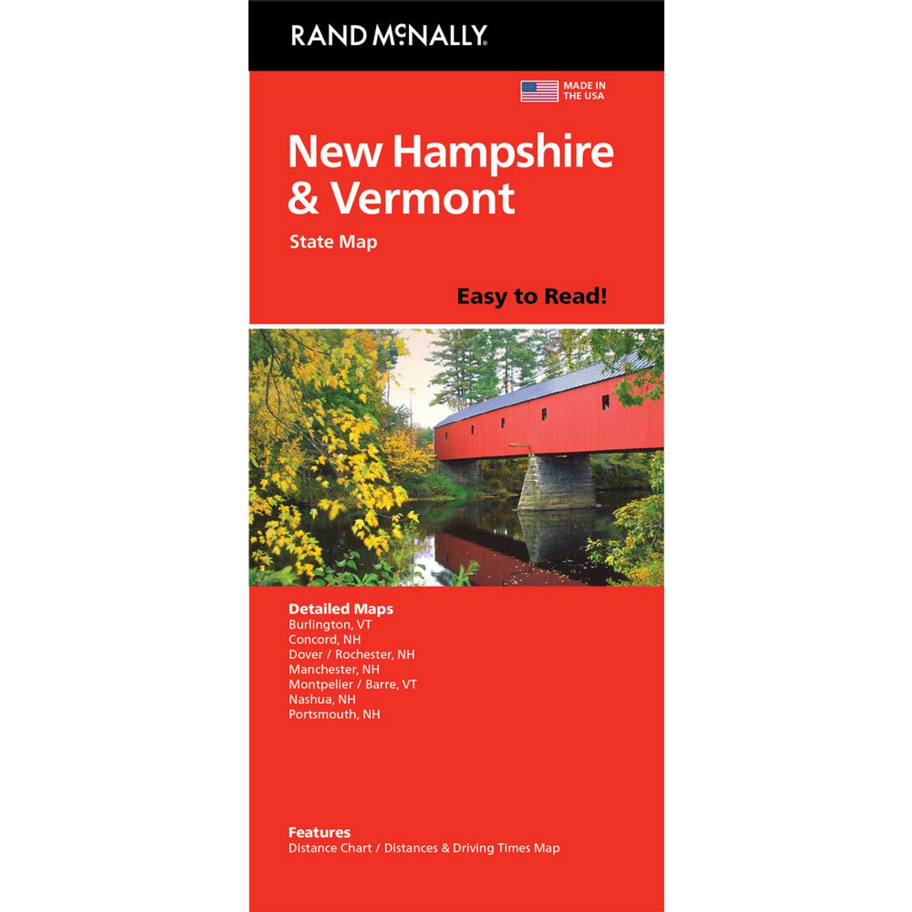
Rand McNally’s Easy To Read State Folded Map is a must-have for anyone traveling in and around New Hampshire and Vermont, offering unbeatable accuracy and reliability at a great price. Our trusted cartography shows all Interstate, U.S., state, and county highways, along with clearly indicated parks, points of interest, airports, county boundaries, and streets.The easy-to-use legend and detailed index make for quick and easy location of destinations. You’ll see why Rand McNally folded maps have been the trusted standard for years.
Coverage Area: Detailed maps of: Burlington, VT; Concord, NH; Manchester, NH; Montpelier/Barre, VT; Nashua, NH; Portsmouth, NH; Rochester, NH
| Gewicht: | 90 g |
|---|---|
| Verlag: | Rand McNally |
| Maßstab: | 1:310.464 |
| Medienart: | Karten |
| Sprache: | Englisch |
| EAN: | 9780528029035 |
| Erscheinungsjahr: | 2021 |
| Kontinent: | Nordamerika |
| Land: | USA |
| Bundesland / Provinz: | New Hampshire, Vermont |
| Region: | Neuengland |


Reviews
There are no reviews yet.