Description
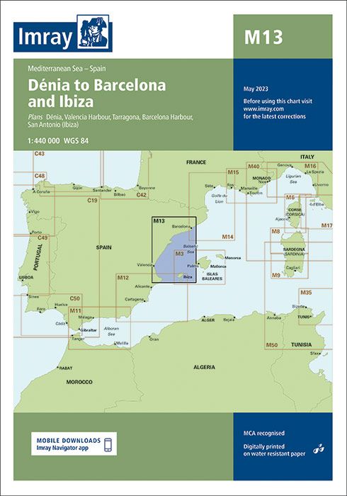
[:de]Plans included: Dénia (1:20 000)
Valencia Harbour (1:35 000)
Tarragona (1:25 000)
Barcelona Harbour (1:65 000)
San Antonio (Ibiza) (1:30 000) For this 2016 edition the chart has been fully updated with the latest known depths, navigational aids, and areas and limits. Numerous port developments are shown at the harbours of Valencia, Tarragona and Barcelona. The main chart extent has been adjusted slightly for a better fit on the printed sheet, and the Valencia Harbour plan has been rescaled to 1:35 000 in order to show the recent port extension.”[:]
Verlag: Imray Produktdetails:EAN: 9781846237638
Auflage: 2016
| Gewicht: | 153 g |
|---|---|
| Verlag: | Imray, Laurie, Norie & Wilson Ltd. |
| Reihe: | Imray Seekarten Imray Charts |
| Maßstab: | 1:440.000 |
| Medienart: | Seekarten – gefaltet |
| Sprache: | Englisch |
| EAN: | 9781786794581 |
| Kontinent: | Europa |
| Land: | Spanien |
| Bundesland / Provinz: | Balearen, Katalonien, Comunitat Valenciana |
| Region: | Ibiza, Costa Daurada, Spanische Mittelmeerküste, Ebro, Costa del Azahar, Formentera, Südkatalonien |
| Orte / Berge / Seen: | Valencia, Barcelona, Gandia, Tarragona, Ebrodelta, Dénia |


Reviews
There are no reviews yet.