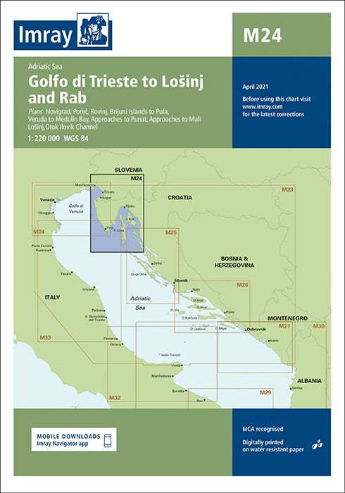
Description
Chart scale 1:220 000
Plans included: Novigrad (1:15 000) Porec (1:15 000) Rovinj (1:15 000) Brijuni Otoci to Pula (1:85 000) Veruda to Medulin Bay (1:85 000) Approaches to Punat (1:20 000) Approaches to Mali Lošinj (1:40 000) Otok Ilovik Channel (1:20 000)
On this edition the chart specification has been improved to show coloured light flashes. The latest depth surveys have been included where available. Harbour developments at Punat are included. Brand new harbour plans of Novigrad and Porec are included for the first time. There has been general updating throughout.
| Gewicht: | 153 g |
|---|---|
| Verlag: | Imray, Laurie, Norie & Wilson Ltd. |
| Reihe: | Imray Seekarten Imray Charts |
| Maßstab: | 1:220.000 |
| Medienart: | Seekarten – gefaltet |
| Sprache: | Englisch |
| EAN: | 9781786795076 |
| Erscheinungsjahr: | 2023 |
| Kontinent: | Europa |
| Land: | Slowenien, Italien, Kroatien |
| Bundesland / Provinz: | Friaul-Julisch Venetien |
| Region: | Kvarner Bucht, Istrien, Obere Adria, Golf von Triest, Kroatische Inseln, Golf von Venedig, Italienische Adriaküste |
| Orte / Berge / Seen: | Triest, Pula, Koper, Piran, Rab, Losinj, Cres, Muggia, Izola, porec |


Reviews
There are no reviews yet.