Description
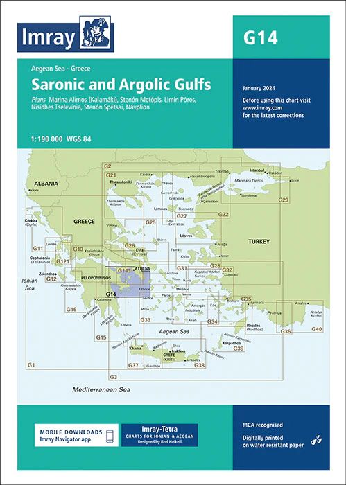
Plans included: Marina Alimos (Kalamáki) (1:12 500) Stenón Metópis (1:30 000) Limín Póros (1:25 000) Nisídhes Tselevínia (1:50 000) Stenón Spétsai (1:40 000) Návplion (1:20 000) On this 2019 edition the chart specification has been improved to show coloured light flashes. Submarine cables have been updated. There has been general updating throughout.
| Gewicht: | 153 g |
|---|---|
| Verlag: | Imray, Laurie, Norie & Wilson Ltd. |
| Reihe: | Imray Seekarten Imray Charts |
| Maßstab: | 1:190.000 |
| Medienart: | Seekarten – gefaltet |
| Sprache: | Englisch |
| EAN: | 9781786795489 |
| Kontinent: | Europa |
| Land: | Griechenland |
| Region: | Peloponnes, Golf von Korinth, Griechische Inseln, Ägäis, Attika, Saronischer Golf, Argolischer Golf, Argolis |
| Orte / Berge / Seen: | Hydra, Athen, Náfplio, Ägina, Spétses, Korinth, Kanal von Korinth, Piräus, Salamis |

Reviews
There are no reviews yet.