Description
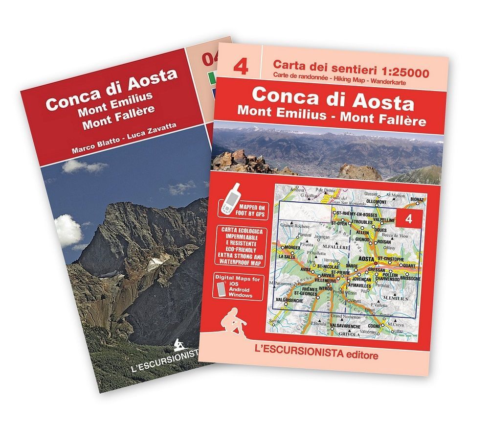
Aosta, Pila, Mont Emilius hiking map at a 1:25.000 scale with a WGS84 grid (1km). All data has been gathered by walking each route with a GPS device, printed on support extra strong and waterproof.
64 page guide-book which includes 3 long-distance hikes: Around Mont Emilius, Tour of Mont Fallére, Tour of the castle between Aosta and Avise. Including a list of itineraries, trail-markers and durations.
- Size/Maße: 11×16 (guide-book) – 70×100 printed on both sides (map)
- Pages/Seitenzahl: 64 (guide-book) + 1:25.000 (map)
- Photo/Fotoqualität: Black & white
- Binding/Bindung: Stapled
- ISBN: 9791280163349
- Code: ESC04
| Gewicht: | 181 g |
|---|---|
| Verlag: | L’Escursionista |
| Reihe: | Carta dei sentieri 1:25.000 |
| Maßstab: | 1:25.000 |
| Medienart: | Karten |
| Sprache: | Deutsch, Englisch, Französisch, Italienisch |
| EAN: | 9791280163349 |
| Seiten: | 64 |
| Höhe in mm: | 160 |
| Breite in mm: | 110 |
| Höhe in mm offen: | 700 |
| Breite in mm offen: | 110 |
| Erscheinungsjahr: | 2023 |
| Kontinent: | Europa |
| Land: | Italien |
| Bundesland / Provinz: | Aostatal |
| Region: | Grajische Alpen, Walliser Alpen, Aostatal, Valpelline |
| Orte / Berge / Seen: | Aosta, Mont Fallère, Morgex, Mont Emilius, Pila, La Salle, Roisan, Arvier, Quart, Avise, Ozein, Charvensod, allein |


Reviews
There are no reviews yet.