Description
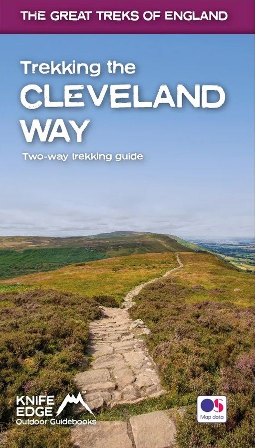
Real Maps: Full Ordnance Survey mapping inside (1:25.000). All accommodation is numbered and marked on the maps.
20 different itineraries: schedules of 5, 6, 7, 8, 9, 10 and 11 days for hikers and runners. Includes both eastbound and westbound itineraries. Difficult calculations of time, distance and altitude gain/loss are done for you.
Also includes:
Detailed information on equipment and travelling light
Full accommodation listings: the best pubs, B&Bs and hotels Detailed section on camping, including wild camping Everything the trekker needs to know: route, costs, difficulty, weather, travel, and more Essential info for both self-guided and guided trekkers Information on plants and wildlife Numbered waypoints linking the Real Maps to our clear descriptions
| Gewicht: | 255 g |
|---|---|
| Verlag: | Knife edge |
| Reihe: | Knife Edge guidebooks |
| Medienart: | Bücher |
| Sprache: | Englisch |
| EAN: | 9781912933174 |
| Seiten: | 156 |
| Höhe in mm: | 210 |
| Breite in mm: | 120 |
| Erscheinungsjahr: | 2023 |
| Kontinent: | Europa |
| Land: | Vereinigtes Königreich (Großbritannien) |
| Region: | Nordengland, Englische Nordseeküste, Yorkshire |


Reviews
There are no reviews yet.