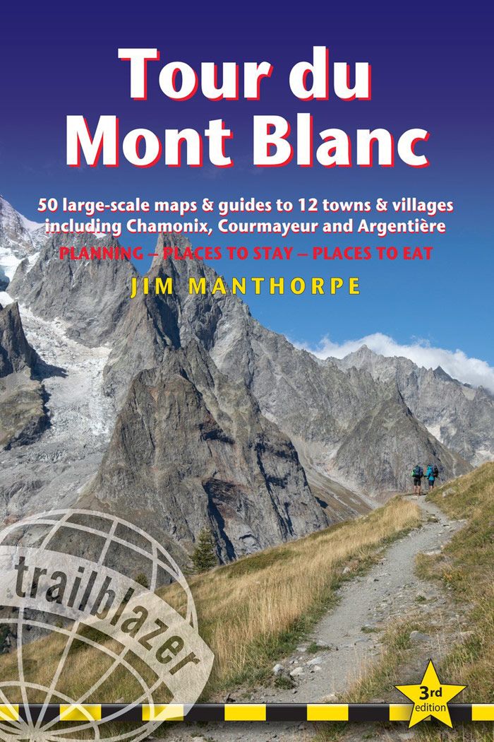
Description
Circumnavigating the massif and passing through France, Italy and Switzerland, the Tour du Mont Blanc is a waymarked trail of 105 miles (168km), taking 10-14 days.
50 detailed trail maps – with comprehensive route descriptions
Unique mapping features – walking times, directions, tricky junctions, places to stay, places to eat, points of interest; these are not general-purpose maps but full edited maps drawn by walkers for walkers Practical information for all budgets – where to eat, what to see, where to stay: gîtes, hostels, lodges, hotels, campsites Comprehensive background information – the Alps, flora and fauna, the history of mountaineering and trekking in the region and the conquest of Mont Blanc in 1786 by Bourrit and Balmat Plus – detailed guides and town plans for Chamonix and Courmayeur
ISBN 978-1-905864-92-8
3rd edition
192 pages
50 maps
60 colour photos
120mm x 180mm
| Autor: | Jim Manthorpe |
|---|---|
| Verlag: | Trailblazer Publications |
| Reihe: | Trailblazer Guides |
| Medienart: | Bücher |
| Sprache: | Englisch |
| EAN: | 9781912716364 |
| Höhe in mm: | 180 |
| Breite in mm: | 120 |
| Erscheinungsjahr: | 2023 |
| Kontinent: | Europa |
| Land: | Italien, Frankreich, Schweiz |
| Bundesland / Provinz: | Wallis, Aostatal, Auvergne-Rhône-Alpes |
| Region: | Massif du Mont Blanc, Unterwallis, Savoyen |
| Orte / Berge / Seen: | Chamonix, Courmayeur, Aiguilles Rouges, Col de Balme, Val Ferret, Les Contamines, Les Houches, Val Veny, Argentière, Champex |


Reviews
There are no reviews yet.