

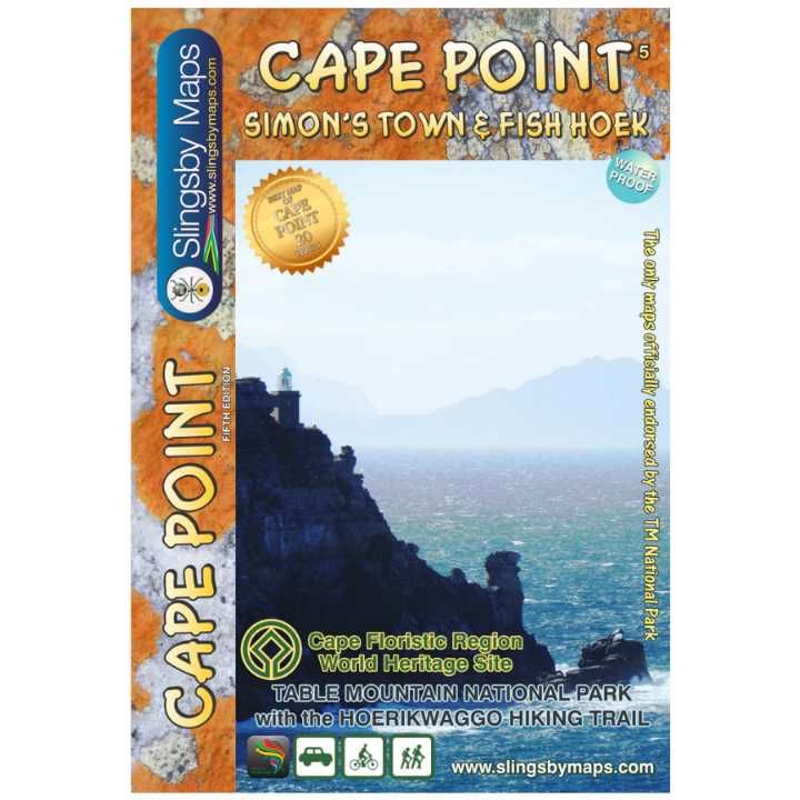
Description
NEW in this Edition are: Distances and estimated times shown for all paths above the Contour Path or Pipe Track; Long/Lat grid at 10″ intervals as well as the 200 metre square UTM grid; Completely revised vegetation distribution; Some vanished paths removed; some new ones added; Three Firs, Oudekraal Ravine and Constantia Corner routes upgraded; Clearer depiction of many features, including dangerous routes.
All the features for which the map is famous are still there: All approved paths, with DD MM SS GPS coordinates for major junctions; 10 metre contours & delicate colour height shading bring the topography to life; Forty quality photos of the most prominent mountain flowers, as well as line sketches of flora and fauna are included on the map.
The reverse side includes: A sketch of the view from Maclear’s Beacon, with names and distances to prominent peaks on the eastern horizon; Written descriptions of 23 of the most popular routes, with distances and approximate times; Important safety instructions, emergency telephone numbers, Cableway and National Park details, etc
Technicals: A2+ full colour map Scale 1:20.000 (5cm = 1km) 10m contours; relief shading 200m² UTM grid, WGS84 10″ Long/Lat grid Coords in DDMMSS format at important junctions 23 Route descriptions Safety information & contact numbers WATERPROOF and TEAR RESISTANT in plastic sleeve ISBN 978-1-920377-30-4
| Gewicht: | 49 g |
|---|---|
| Verlag: | Slingsby |
| Reihe: | Slingsby Hiking Maps |
| Maßstab: | 1:20.000 |
| Medienart: | Karten |
| Sprache: | Englisch |
| EAN: | 9781920377373 |
| Erscheinungsjahr: | 2019 |
| Kontinent: | Afrika |
| Land: | Südafrika |
| Bundesland / Provinz: | Westkap |
| Region: | Kap-Halbinsel |
| Orte / Berge / Seen: | Kapstadt, Lion’s Head, Kirstenbosch, Vlakkenberg, Llandudno (Südafrika), tafelberg |
Reviews
There are no reviews yet.