Description
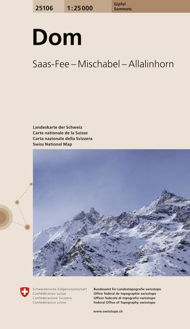
Gipfelkarte – Sommets – Cime – Summits
Carte nationale de la Suisse – Carta nazionale della Svizzera – Swiss national map
2015 – 2017
| Gewicht: | 50 g |
|---|---|
| Verlag: | Bundesamt für Landestopographie |
| Reihe: | Gipfel 1:25 000 |
| Maßstab: | 1:25000 |
| Medienart: | Karten |
| Sprache: | Deutsch, Englisch, Französisch, Italienisch |
| EAN: | 9783302251066 |
| Höhe in mm: | 190 |
| Breite in mm: | 110 |
| Erscheinungsjahr: | 2025 |
| Kontinent: | Europa |
| Land: | Schweiz |
| Bundesland / Provinz: | Wallis |
| Region: | Oberwallis, Walliser Alpen, Mattertal, Saasertal |
| Orte / Berge / Seen: | Mischabel, Weissmies, Alphubel, Rimpfischhorn, Allalinhorn, Mattmark-Stausee, Strahlhorn, Saas-Fee, Fletschhorn, Randa, Täsch, Dom, Balfrin, Saas-Almagell, Allmageller Hütte, Saas-Grund |


Reviews
There are no reviews yet.