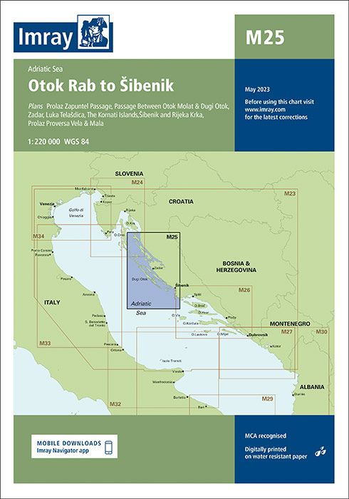
Description
Plans included: Prolaz Zapuntel Passage (sketch plan)
Passage Between Otok Molat & Dugi Otok (1:60 000)
Zadar (1:25 000)
Luka Telašcica (1:45 000)
The Kornati Islands (1:50 000)
Šibenik and Rijeka Krka (1:50 000)
Prolaz Proversa Vela & Mala (1:35 000) On this 2017 edition the limits of marine protected areas have now been added to the chart. The sketch plan of Prolaz Proversa Vela & Mala has been replaced with a fully georeferenced WGS84-compatible plan. The chart specification has been improved to show coloured light flashes. There has been general updating throughout. Produktdetails:EAN: 9781846239045
Auflage: 2019
| Gewicht: | 153 g |
|---|---|
| Verlag: | Imray, Laurie, Norie & Wilson Ltd. |
| Reihe: | Imray Seekarten Imray Charts |
| Maßstab: | 1:220.000 |
| Medienart: | Seekarten – gefaltet |
| Sprache: | Englisch |
| EAN: | 9781786794956 |
| Erscheinungsjahr: | 2023 |
| Kontinent: | Europa |
| Land: | Kroatien |
| Region: | Kvarner Bucht, Kornaten, Dalmatien, Obere Adria, Mittlere Adria, Kroatische Inseln |
| Orte / Berge / Seen: | Zadar, Sibenik, Rab, Pag, Murter, Dugi Otok, Rogoznica, Karlobag, Ugljan, Molat, Silba, Olib, Vir, Žut, Žirje, paklenica, Pasman |


Reviews
There are no reviews yet.