Description
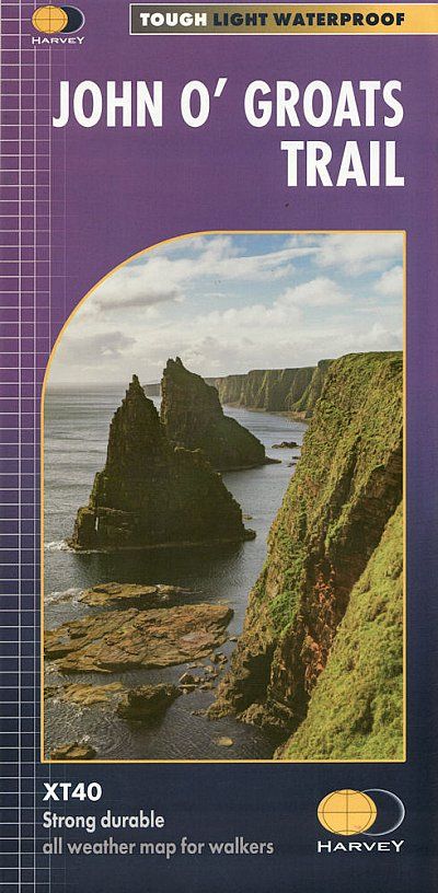
The John o‘ Groats Trail is a 237 km (147 miles) coastal walking route from Inverness to John o‘ Groats, traversing shorelines, cliff tops, back lanes and footpaths. The walk includes some of the most dramatic scenery in Britain, with sea arches, sea stacks and hidden natural harbours, many of which have ruins of stone buildings from the 19th century.
Tough, light, durable and 100% waterproof
Genuine original HARVEY mapping
Route clearly marked
Entire route on one map
Technical specification: Scale/Maßstab: 1:40.000 Ratio: 2.5cm = 1km Flat size/Maße ungefaltet: 696 x 486mm Folded size/Maße gefaltet: 116 x 243mm Weight/Gewicht: 35gms Double sided/beidseitig bedruckt Format: strip map
| Gewicht: | 50 g |
|---|---|
| Verlag: | Harvey Map |
| Reihe: | Harvey Weitwanderkarten |
| Maßstab: | 1:40.000 |
| Medienart: | Karten |
| Sprache: | Englisch |
| EAN: | 9781851376650 |
| Erscheinungsjahr: | 2023 |
| Kontinent: | Europa |
| Land: | Vereinigtes Königreich (Großbritannien) |
| Bundesland / Provinz: | Schottland |
| Region: | Highlands, Schottische Nordseeküste |
| Orte / Berge / Seen: | John o’Groats, Inverness, Lybster, Cromarty Firth |


Reviews
There are no reviews yet.