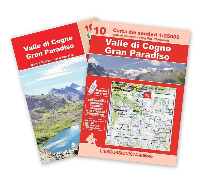
Description
Carte de randonnée – Wanderkarte – Hiking Map
- Size/Maße: 11×16 (guide-book) – 70×100 printed on both sides (map)
- Pages/Seitenzahl: 64 (guide-book) + 1:25.000 (map)
- Photos/Fotos: Black & white
- Binding/Bindung: Stapled
- ISBN: 9791280163394
Valle di Cogne, Gran Paradiso hiking map at a 1:25.000 scale with a WGS84 grid (1km). All data has been gathered by walking each route with a GPS device, printed on support extra strong and waterproof.
4 page guide-book which includes 3 long-distance hikes: Panoramic hike, Between Grauson and Urtier, In the Gran Paradiso National Park. Including a list of itineraries, trail-markers and durations.
| Gewicht: | 180 g |
|---|---|
| Verlag: | L’Escursionista |
| Reihe: | Carta dei sentieri 1:25.000 |
| Maßstab: | 1:25.000 |
| Medienart: | Karten |
| Sprache: | Deutsch, Englisch, Französisch, Italienisch |
| EAN: | 9791280163394 |
| Höhe in mm: | 160 |
| Breite in mm: | 110 |
| Höhe in mm offen: | 700 |
| Breite in mm offen: | 110 |
| Erscheinungsjahr: | 2023 |
| Kontinent: | Europa |
| Land: | Italien |
| Bundesland / Provinz: | Aostatal |
| Region: | Grajische Alpen |
| Orte / Berge / Seen: | Gran Paradiso, Cogne, Aiguille du Chardonnet, Valsavarenche, Pont, Grivola, Punta Tersiva, Lillaz, Epinel, Torre di Lavina, Vieyes, Arcos de Valdevez, Monveso di Forzo |


Reviews
There are no reviews yet.