Description
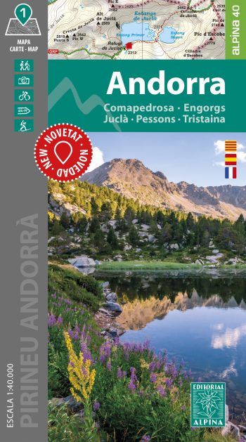
- Book Language: Spanish, Catalan, French
- Hiking map
- Scale 1:40.000
- Equidistance contours: 20 m distance
- Master contours: at 100 m
- Shady relief
- Compatible with GPS
- Land use symbolized at three levels
- Folder with hikes, potholing, gully descent, climbing, mountain biking and all the facts of interest
| Gewicht: | 104 g |
|---|---|
| Verlag: | Editorial Alpina |
| Reihe: | Editorial Alpina 1:40.000 |
| Maßstab: | 1:40.000 |
| Medienart: | Karten |
| Sprache: | Französisch, Katalanisch, Spanisch |
| EAN: | 9788470111235 |
| Erscheinungsjahr: | 2024 |
| Kontinent: | Europa |
| Land: | Spanien, Andorra |
| Bundesland / Provinz: | Katalonien |
| Region: | Pyrenäen, Andorra, Katalanische Pyrenäen |
| Orte / Berge / Seen: | Andorra La Vella, Puigpedrós, Pic de Tristaina, Juclà, Tossa Plana de Lles, Engorgs, Comapedrosa |


Reviews
There are no reviews yet.