Description
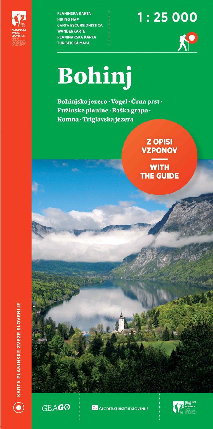
The map is an excellent accessory to anyone planning to hike in this area. The off-trail enthusiasts will especially enjoy the accurate, transparent and neatly displayed terrain surface, while others will be able to enjoy some peace of mind and follow the mapped mountain trails, because these are based on the latest mountain trail cadastre of the Alpine Association of Slovenia, with data verified on the ground. The map makers have not forgotten about useful additional content such as the recommended ski mountaineering routes, natural and cultural attractions, climbing walls, parking lots, bus and train stations, as well as food and accommodation facilities.
The backside of the map contains the legend, as well as descriptions and contact information for mountain huts with associated QR codes linked to each hut’s website. The information is complemented with textual descriptions and terrain surface maps of some popular peaks.
| Gewicht: | 79 g |
|---|---|
| Verlag: | Planinska Zveza Slovenije |
| Reihe: | Slowenischer Alpenverein 1:25.000 |
| Maßstab: | 1:25.000 |
| Medienart: | Karten |
| Sprache: | Bosnisch-Kroatisch-Serbisch, Deutsch, Englisch, Italienisch, Slowenisch, Tschechisch |
| EAN: | 3830058421154 |
| Erscheinungsjahr: | 2023 |
| Kontinent: | Europa |
| Land: | Slowenien |
| Region: | Julische Alpen, Wocheiner Berge, Krain, Oberkrain |
| Orte / Berge / Seen: | Bohinj, Vogel, Triglav-Seen, Podbrdo |

Reviews
There are no reviews yet.